XGEOMATICS, Earth in Detail

XGEOMATICS was established in 2016, which provides accurate and high-performance geographic surveying products and services, making geo-data collection and management more efficient, and ultimately helps creating greater value for the land.

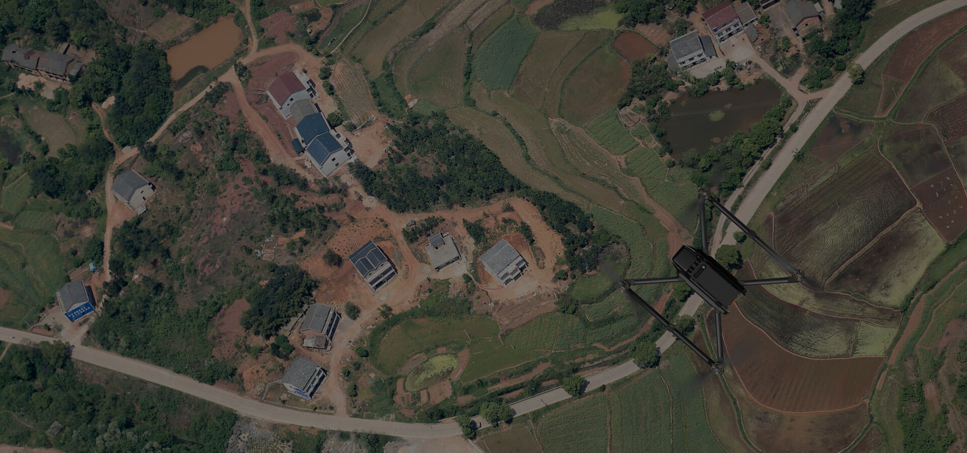
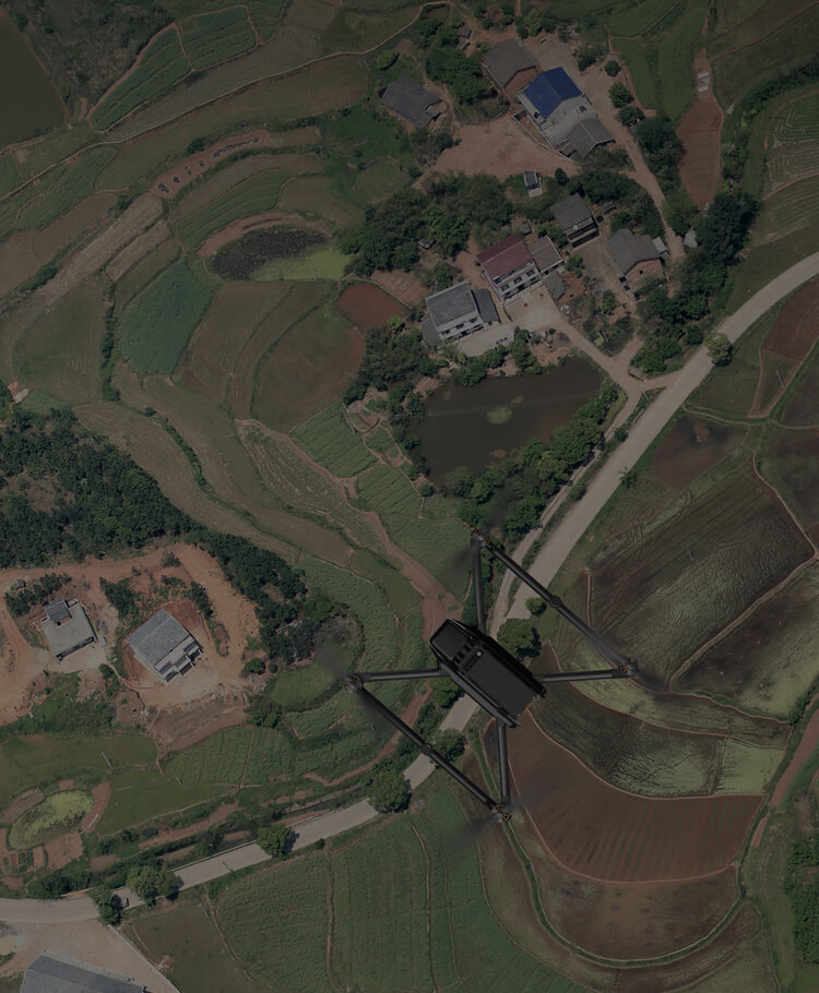
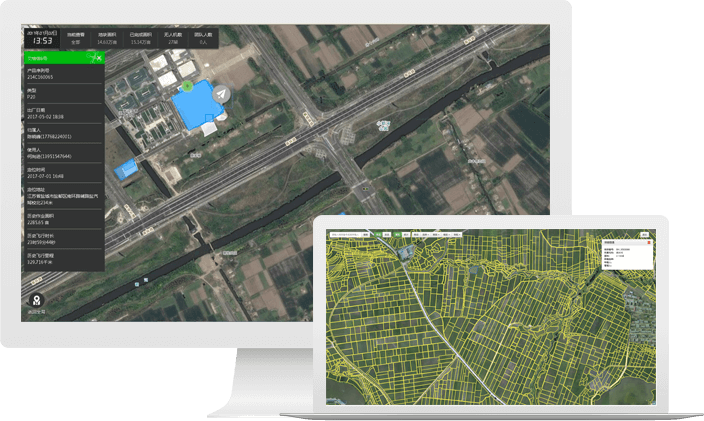
Mapping for 600,000+ ha. of land
Developed geo-data solutions for 20,000+ ha. of orchard

R&D Capabilities

Built on XAG’s 12-year experience in commercial UAS, XGEOMATICS has developed surveying UAS products and data processing platforms with multiple independent intellectual properties.

Data Processing Capacity

Cooperating with providers of various data services, XGEOMATICS integrates the use of UAS, satellite remote sensing and cloud computing, applies them to precision agriculture, urban construction, public safety and environmental protection.

Geographical Information Solution

XGEOMATICS’ services include terrain mapping, high-definition fields mapping, landscape inspection, and environmental pollution monitoring, we provide solutions for qualified organisations on demand.

24/7 Precise GIS Data Recording and Traceability

Efficient and Intelligent Geo Data Management

Applications

Farmland Navigation, Terrain Survey, Powerline Inspection, Mine Investigation …